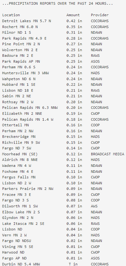
Well, some of the area picked up some much needed precip over the last 24 hours. Granted, it wasn’t enough but we will take what we can get. Lakes country was the winner with the most rainfall:
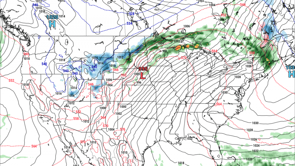
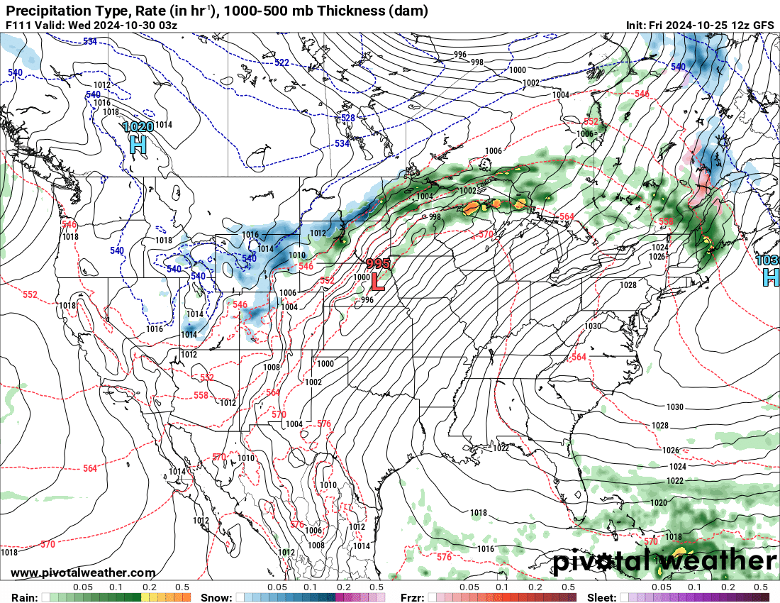
We need a good 1-2″ soaker and I just don’t see it. I’m seeing signs of a pattern chance next week which will bring in some more active weather. The million dollar question is will we see rain in the Valley or will it sneak to our south. Here’s a look at our American model (GFS):
Now compare that to the European model (ECMWF):
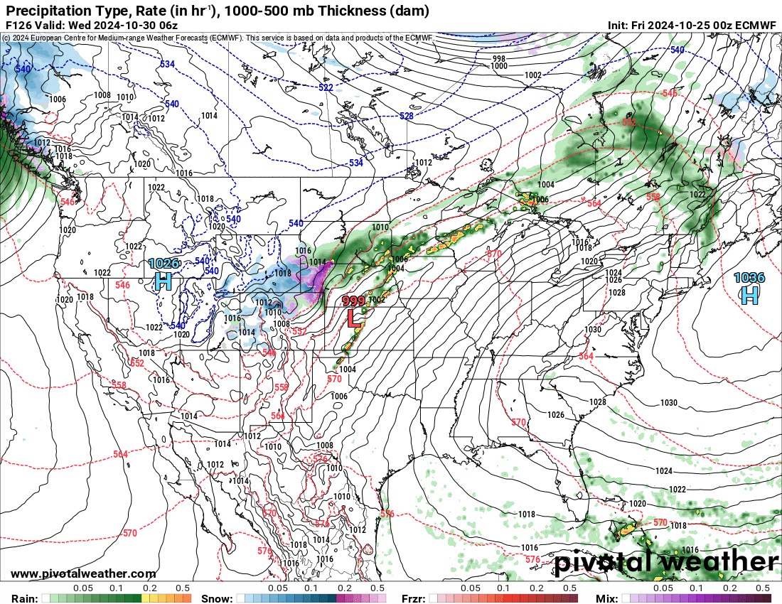
Notice the ECMWF keeps most of the moisture to our south. Regardless, at least we are seeing “signs” of a more active weather pattern. Now we need to pull some of that rain up into the N. Plains.
Chief Meteorologist,
Dean Wysocki