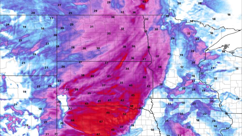
North Dakota Department of Emergency Services releases a new map today at NDResponse.gov/firemonitor that tracks current active wildfires across the state. The map shows live status information such as size and containment.
“Our GIS section has been working hard alongside partners to get this up and running for the public to better track the size and boundary of these historic wildfires,” says Darin Hanson, Homeland Security Director.
Check back as this map is now considered the most up-to-date official information for size and containment. New fires may pop up. We will update the map as we receive verified information.
Included on the map are images taken from intel gathering flight missions by the Civil Air Patrol by request of the Department of Emergency Services.
Image: Wildfire Monitor map as seen in the State Emergency Operations Center, Department of Emergency Services.


