As another vigorous area of low pressure enters the area, winds will once again accelerate through the morning and afternoon from the SE, bringing warm temperatures into the 70s. The cold front associated with the storm system is expected to track across the state through the late afternoon into the early overnight hours. Storms are expected to develop along the front and bring potential for some storms to be on the strong to severe side with the primary threat being wind and hail, although an isolated tornado will be possible. The main danger looks to be just west of the Red River Valley although it will remain possible to see some strong storms into Minnesota. Storms are expected to start developing 3-4 o’clock and race into Eastern North Dakota after 6:00 pm, and Minnesota after 11:00 pm midnight.
I will provide an update on Thursday afternoon on timing and storm expectations.
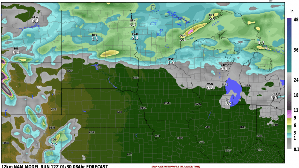
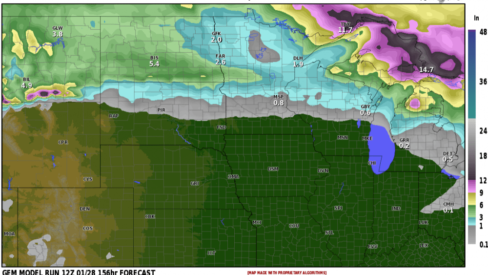
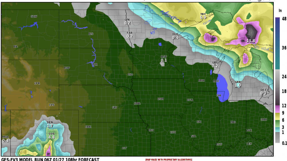
Following behind this system much colder temperatures on Friday with wind and a shot of snow west of the valley. More on that tomorrow.
Meteorologist,
Justin Storm
