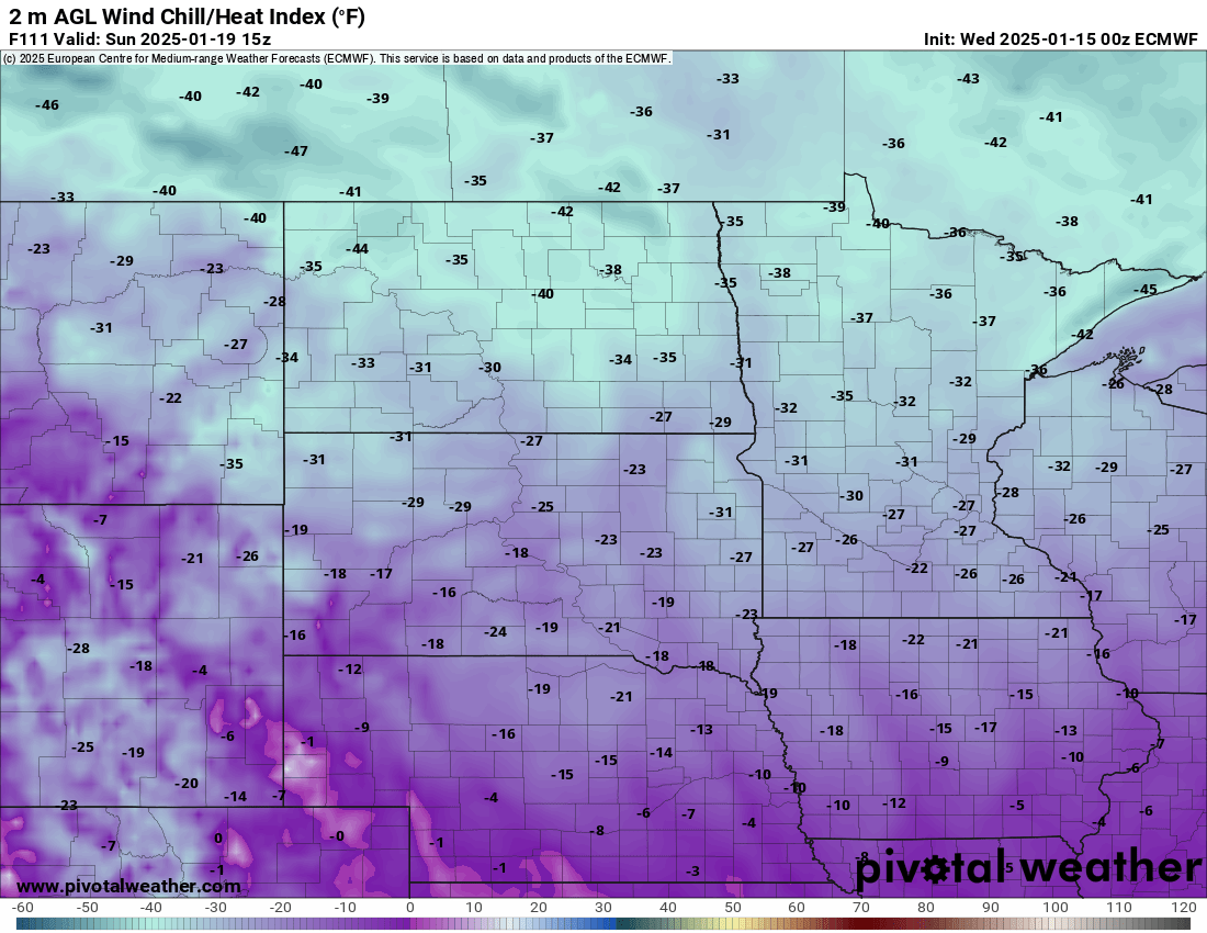
So far, the coldest air we’ve experienced in the F/M area has dropped us to -15 below. Now we have a brief “warm up” for a few days before the Arctic opens back up and blasts into much of the lower 48 east of the Rockies!! Here’s a look at the wind chill forecast for Sunday Morning:

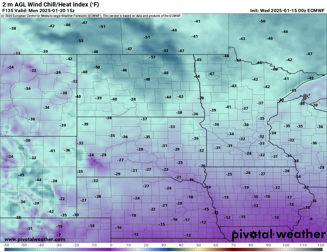
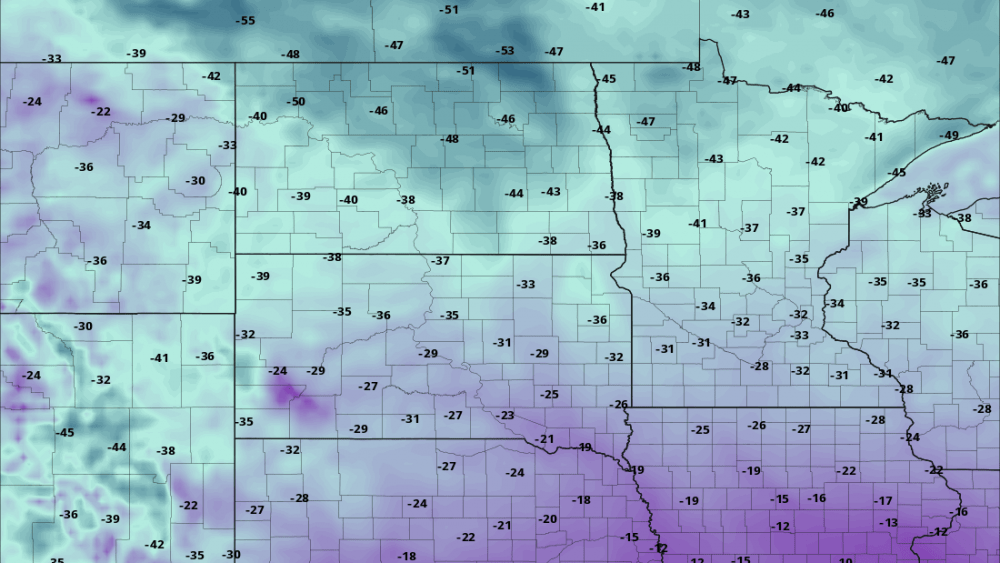
And here’s Monday wind chill forecast:

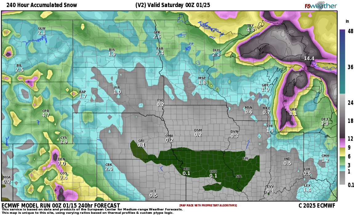
Now, we won’t see much snow as the Arctic air pushes in with just a few snow showers and any accumulations should be less than 1″ Here’s the snowfall forecast for the next 10 days. Not that impressive for our area!

Snowfall Forecast
Courtesy F5 weather


