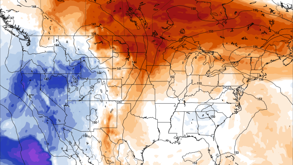
Although it is meteorologically fall, summer weather continues with well above-average temperatures the last several days and the next several. Average daytime high temperatures top out in the low 70s for the middle of September along with average low temperatures leveling off in the upper 40s. By the end of September average high and low temperatures will be 65/45 for Fargo, ND.
Summer weather doesn’t want to lighten its grip. Mother nature is helping out with an extended summer after a cool wet spring and the start of summer. This warm stretch of weather is very beneficial not only on a personal note but also on an agricultural level. With the wet cool start to the year, many farmers were late to plant crops. Our growing season is already very short and many were worried that their crops would not get to maturity. Although that will still be the case with some. This stretch of warm days and mild nights is saving a lot of yields when it comes to the area. Some have noted that “September saved the crop last year, and it has done so again this year”.
Yesterday was pretty warm, near record-setting with a high of 90 degrees. The record for Fargo, ND is 94 set in 2018. Near record warmth is expected again today with high temperatures reaching into the upper 80s to near 90 today! The record for today (9-17-24) is 92 in 1998. Even overnight warmest low temperature records are coming close with overnight lows only dipping into the upper 60s and lower 70s. Most overnight record lows for yesterday and today are only at about 70 degrees. This stretch of warm weather is going to continue but it will be trending cooler but still above average through the week. We may finally see some near average to below average temperatures by the end of the weekend and start next week.
An active weather pattern is also expected to continue over the next week with several chances for scattered showers and storm storms over the next three days. Additionally, a couple of upper-level disturbances are expected to bring more chances for rain to end the weekend and next week. There does appear to be potential for some frost towards the end of the month (which is normal for the time of year) but looks to favor more areas around central and northern North Dakota.
Meteorologist,
Justin Storm