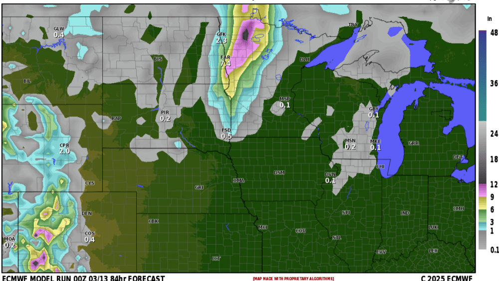
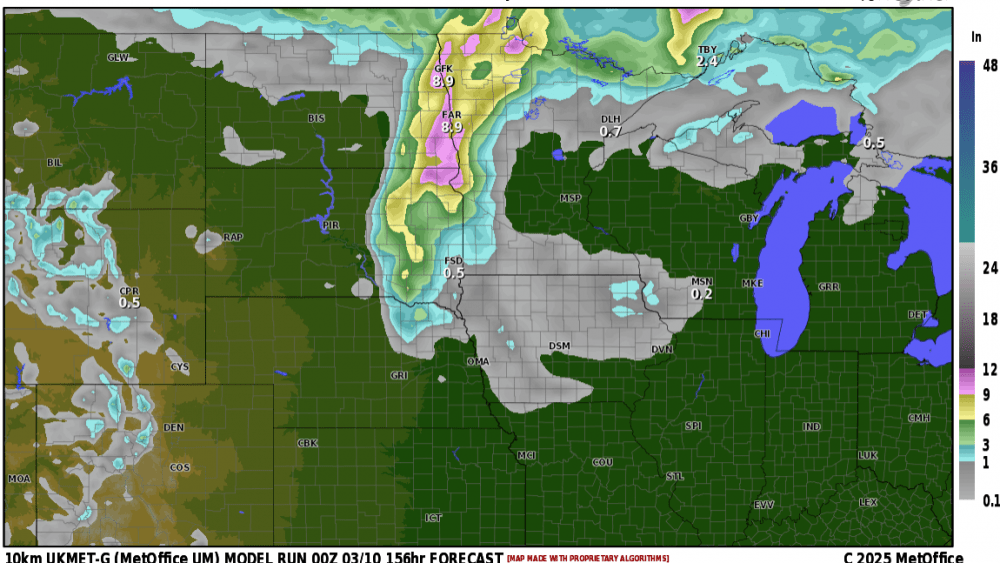
It’s July and many want to see some HEAT and often storms come along with it. How about if we could time those storms to come in during the nighttime hours and leave the daytime hours hot and humid? Well, it looks like that’s what we have coming our way this weekend. Here’s one models projection on rainfall from Friday night through Sunday night:
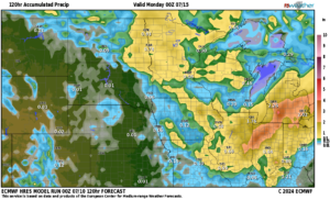
Now, it looks like we will have 3 rounds of T-storms. We like to call these “ridge riders” because they ride along the “heat ridge” that will be building into the N. Plains. Friday night, Saturday night and Sunday night will all hold a chance for storms leaving daytime hours mainly dry. Highs this weekend should top out in the low 90s with heat index readings reaching around 100. Good weekend for the lakes or a pool.
Chief Meteorologist,
Dean Wysocki
